Battle of Thermopylae 480 BC
King Leonidas of Sparta, with his three hundred and the Greek allies, holds the pass between mountains and sea against Xerxes for three days.
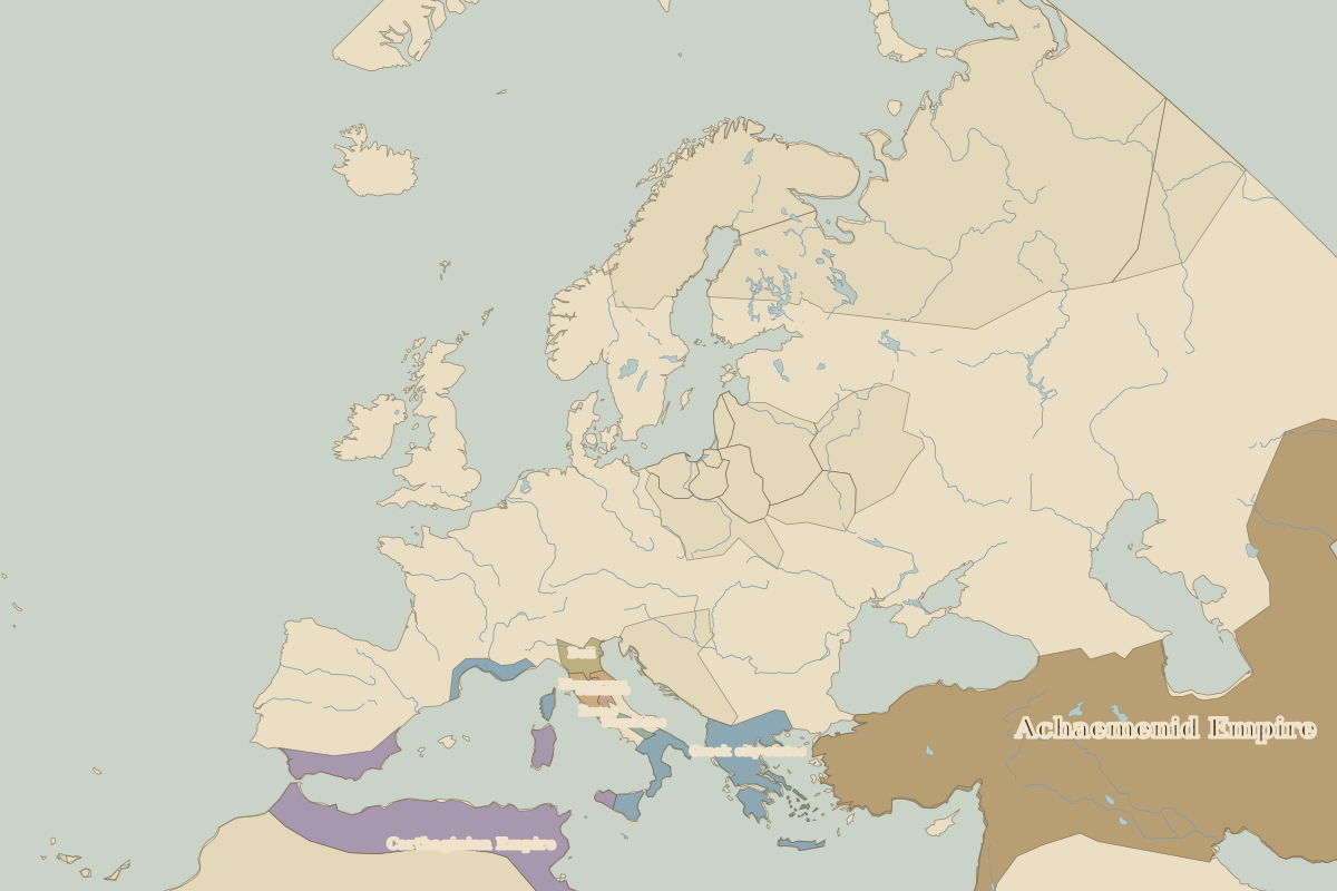 Thermopylae
Open Battle of Thermopylae in the interactive map
Key facts
| Date | 480 BC |
| Type | Battle |
| Location | 38.80° N, 22.54° E |
| Nearest city on the map | Athens (about 138 km) |
| Territory of (map of 500 BC) | Greek city-states |
Rulers in 480 BC
| Realm | Ruler | Reign |
|---|---|---|
| Persia | Xerxes I | 486 BC–465 BC |
| Rome | Roman Republic (consuls) | 509 BC–28 BC |
The world around 480 BC
| Year | Event | Where |
|---|---|---|
| 480 BC | Thermopylae and Salamis | Battle of Salamis |
Other battles and sites nearby
- Battle of Marathon · 490 BC
- Battle of Salamis · 480 BC
- Battle of Pharsalus · 48 BC
- Battle of Actium · 31 BC
- Battle of Lepanto · 1571
- Battle of Navarino · 1827