Battle of Navarino 1827
A British, French and Russian fleet destroys the Ottoman-Egyptian navy, opening the way to Greek independence.
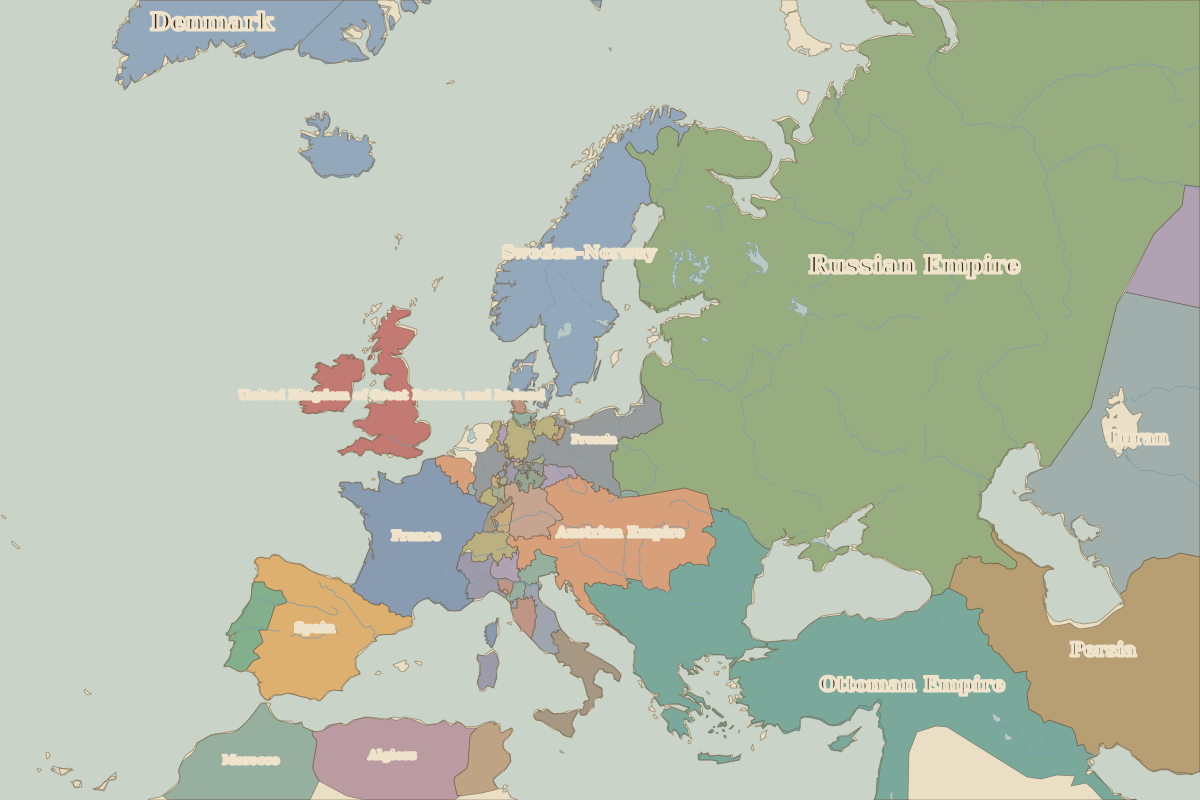 Navarino
Open Battle of Navarino in the interactive map
Key facts
| Date | 1827 |
| Type | Battle |
| Location | 36.93° N, 21.67° E |
| Nearest city on the map | Athens (about 216 km) |
| Territory of (map of 1815) | Ottoman Empire |
Rulers in 1827
| Realm | Ruler | Reign |
|---|
| France | Charles X | 1824–1830 |
| England / UK | George IV | 1820–1830 |
| Rus' / Russia | Nicholas I | 1825–1855 |
| Ottomans / Turkey | Mahmud II | 1808–1839 |
Europe around 1827
| Year | Event | Where |
|---|
| 1830 | Belgian independence | Brussels |
Other battles and sites nearby