Colossus of Rhodes: Then and Now
Bronze statue of the sun god Helios, about 33 m tall, completed around 280 BC and toppled by an earthquake in 226 BC. Its exact site is unknown; the medieval city of the Knights of St John now stands by the harbour.
As it was


The site today


Key facts
| Country today | Greece |
| Status | Lost |
| Date | 280 BC |
| Nearest city on the map | İzmir (about 239 km) |
| Location | 36.451° N, 28.228° E |
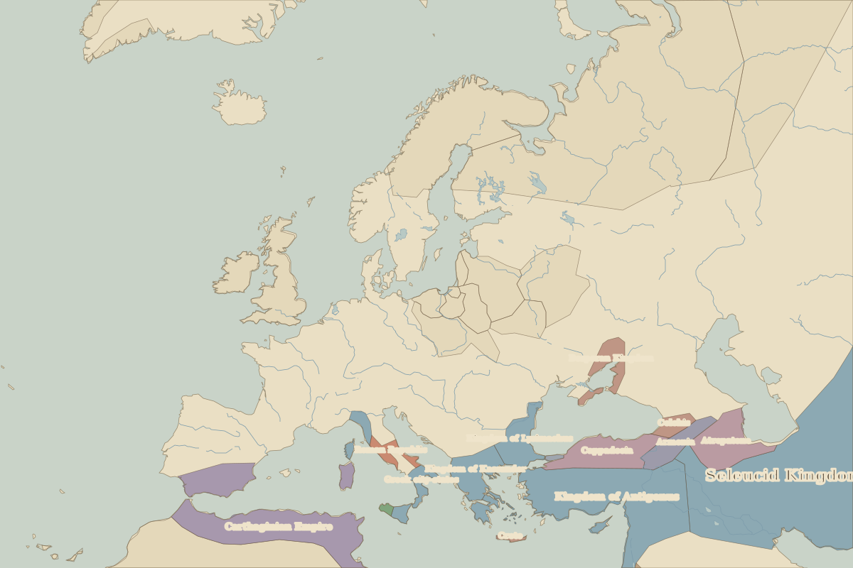 Colossus of Rhodes
Open Colossus of Rhodes in the interactive map
Who ruled this place
Derived from the border maps; each row runs until the next recorded border change.
| Period | State |
|---|---|
| 500 BC–324 BC | Achaemenid Empire |
| 323 BC–301 BC | Empire of Alexander |
| 300 BC–201 BC | Kingdom of Antigonus |
| 200 BC–101 BC | Seleucid Kingdom |
| 100 BC–99 | Unclaimed / no data |
| 100–299 | Roman Empire |
| 300–399 | Rome (Diocletianus) |
| 400–799 | Eastern Roman Empire |
| 800–1491 | Byzantine Empire |
| 1492–1919 | Ottoman Empire |
| 1920–1929 | Italy |
| 1930–1937 | Dodecanese Islands |
| 1938–1944 | Italy |
| 1945–today | Turkey |
Other landmarks nearby
 Mausoleum at HalicarnassusLost · 350 BC
 ParthenonRuins · 438 BC