Machu Picchu: Then and Now
Mountain estate built for the Inca emperor Pachacuti around 1450 and abandoned a century later. The Spanish never found it; it became world-famous after 1911.
As it was


The ruins today


Key facts
| Country today | Peru |
| Status | Ruins |
| Date | 1450 |
| Nearest city on the map | Cusco (about 74 km) |
| Location | 13.163° S, 72.545° W |
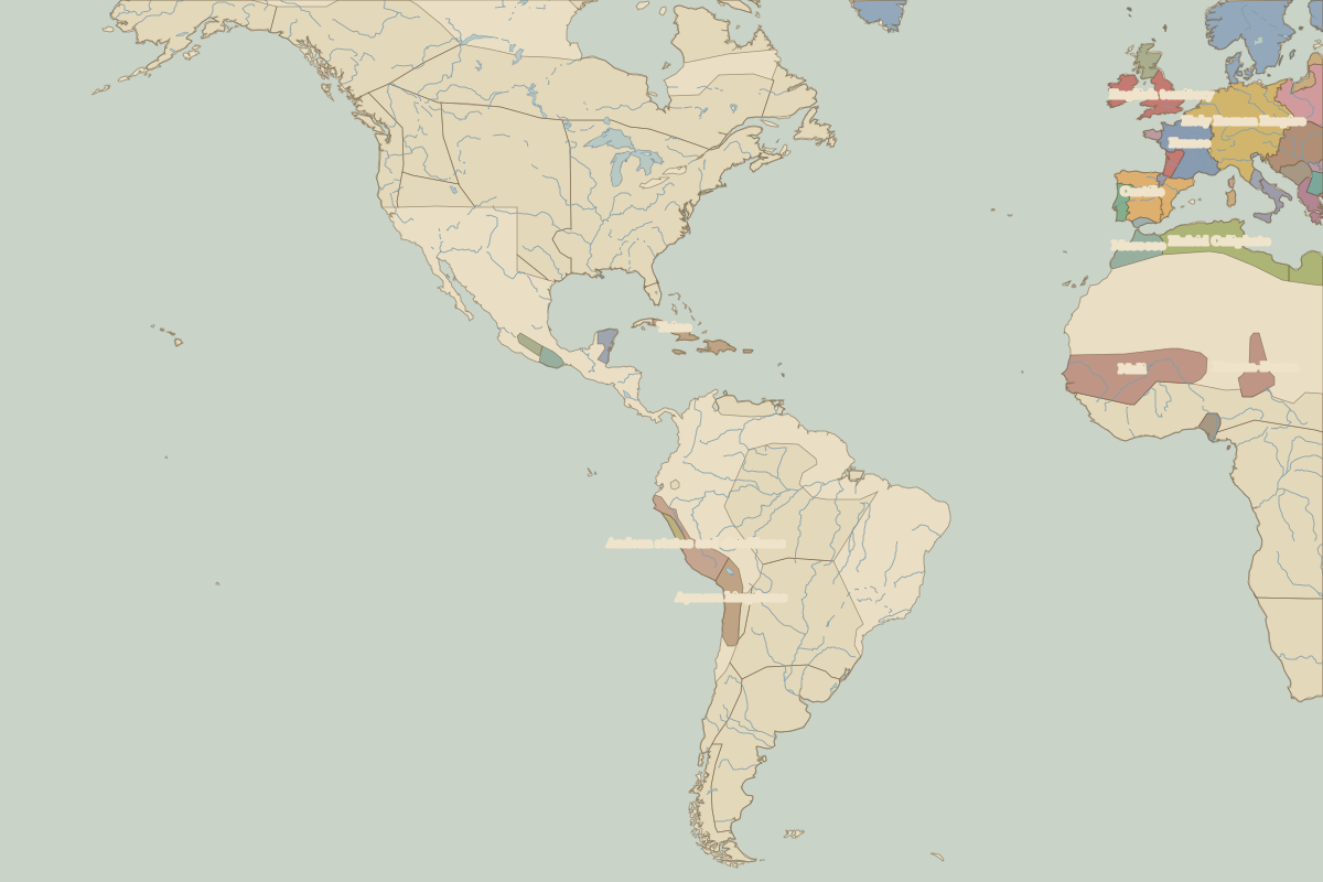 Machu Picchu
Open Machu Picchu in the interactive map
Who ruled this place
Derived from the border maps; each row runs until the next recorded border change.
| Period | State |
|---|---|
| 500 BC–2 BC | Manioc farmers |
| 1 BC–599 | Unclaimed / no data |
| 600–1299 | Huari Empire |
| 1300–1491 | Andean states and chiefdoms |
| 1492–1599 | Inca Empire |
| 1600–1879 | Viceroyalty of Peru |
| 1880–today | Peru |