CChronica Maps

Church of Saint George, Lalibela: Then and Now

Cross-shaped church carved down into the solid rock under King Lalibela around 1200, one of eleven rock-hewn churches of the town.

Today
Church of Saint George, Lalibela, today
Sailko, CC BY 3.0, via Wikimedia Commons

Key facts

Country todayEthiopia
StatusStanding
Date1200
Nearest city on the mapGondar (about 183 km)
Location12.032° N, 39.047° E
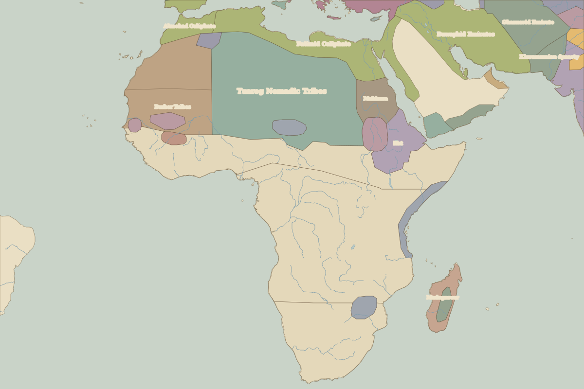
Map showing Church of Saint George, Lalibela in 1200Church of Saint George, Lalibela
Border map for 1200. See the world in 1200.

Open Church of Saint George, Lalibela in the interactive map

Embed this interactive map on your site

Free to use on blogs, school pages and course sites. Copy the code below; please keep the credit line.

Who ruled this place

Derived from the border maps; each row runs until the next recorded border change.

PeriodState
500 BC–499West African cereal farmers
500–599Axum
600–699West African cereal farmers
700–999Axum
1000–1199Unclaimed / no data
1200–1299Ifat
1300–1913Ethiopia
1914–1919Abyssinia
1920–1937Ethiopia
1938–1944Ethiopia (Italy)
1945–todayEthiopia

More: Historic landmarks of Ethiopia · All landmarks