Hiroshima Peace Memorial: Then and Now
The Hiroshima Prefectural Industrial Promotion Hall, built in 1915, was almost directly below the atomic bomb on 6 August 1945. Its shell is kept as a memorial.
As it was


The ruins today


Key facts
| Country today | Japan |
| Status | Ruins |
| Date | 1915 |
| Nearest city on the map | Osaka (about 281 km) |
| Location | 34.395° N, 132.454° E |
 Hiroshima Peace Memorial
Open Hiroshima Peace Memorial in the interactive map
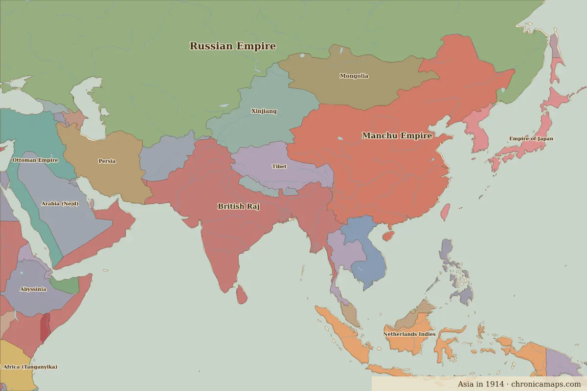
Who ruled this place
Derived from the border maps; each row runs until the next recorded border change.
| Period | State |
|---|---|
| 500 BC–401 BC | Late Jomon culture |
| 400 BC–324 BC | Yayoi |
| 323 BC–99 | Unclaimed / no data |
| 100–199 | Yayoi |
| 200–499 | Unclaimed / no data |
| 500–799 | Yamato |
| 800–899 | Japan |
| 900–999 | Yamato |
| 1000–1299 | Imperial Japan (Fujiwara) |
| 1300–1399 | Shogun Japan (Kamakura) |
| 1400–1491 | Ashikaga Shogunate |
| 1492–1599 | Japan |
| 1600–1649 | Japan (Warring States) |
| 1650–1782 | Tokugawa shogunate |
| 1783–1879 | Japan |
| 1880–1913 | Imperial Japan |
| 1914–1944 | Empire of Japan |
| 1945–1959 | Japan (USA) |
| 1960–today | Japan |
Other landmarks nearby
 Himeji CastleStanding · 1609
 Tōdai-jiStanding · AD 752
More: Historic landmarks of Japan · All landmarks
Further reading
Last updated 9 November 2026. Sources: border data from historical-basemaps, land and rivers from Natural Earth; texts written for Chronica Maps from standard reference works. How we make the maps.