Elmina Castle: Then and Now
Built by the Portuguese in 1482 as São Jorge da Mina to trade in gold; later Dutch and British, it became a major depot of the Atlantic slave trade.
Historical view


Today


Key facts
| Country today | Ghana |
| Status | Standing |
| Date | 1482 |
| Nearest city on the map | Kumasi (about 181 km) |
| Location | 5.083° N, 1.349° W |
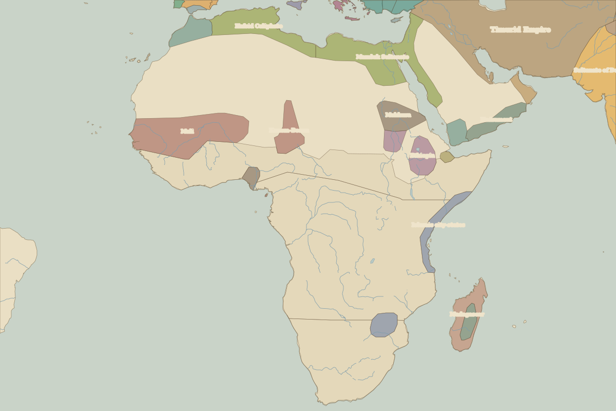 Elmina Castle
Open Elmina Castle in the interactive map
Who ruled this place
Derived from the border maps; each row runs until the next recorded border change.
| Period | State |
|---|---|
| 500 BC–899 | West African cereal farmers |
| 900–999 | Mandes |
| 1000–1491 | West African cereal farmers |
| 1492–1599 | Akan |
| 1600–1782 | Unclaimed / no data |
| 1783–1814 | Asante |
| 1815–1879 | Fante |
| 1880–1899 | Gold Coast (GB) |
| 1900–1913 | Accra |
| 1914–1919 | Gold Coast |
| 1920–1937 | Ghana |
| 1938–1959 | Gold Coast |
| 1960–today | Ghana |
Battles and sites nearby
- Elmina · 1482