Djinguereber Mosque: Then and Now
Mud-brick mosque of Timbuktu built in 1327 after Mansa Musa's pilgrimage, and a centre of learning ever since.
Historical view


Today


Key facts
| Country today | Mali |
| Status | Standing |
| Date | 1327 |
| Nearest city on the map | Gao (about 330 km) |
| Location | 16.771° N, 3.008° W |
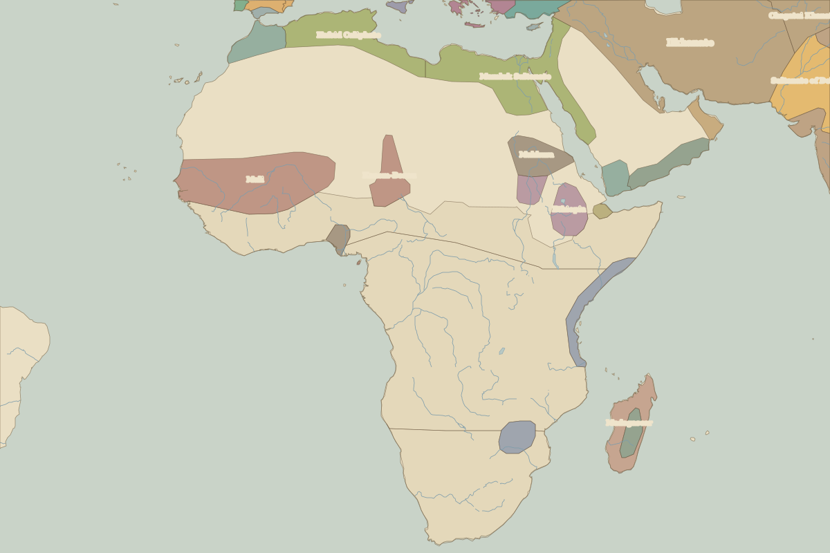 Djinguereber Mosque
Open Djinguereber Mosque in the interactive map
Who ruled this place
Derived from the border maps; each row runs until the next recorded border change.
| Period | State |
|---|---|
| 500 BC–101 BC | Saharan pastoral nomads |
| 100 BC–699 | Unclaimed / no data |
| 700–799 | Saharan Nomadic Tribes |
| 800–899 | Unclaimed / no data |
| 900–999 | Berbers |
| 1000–1199 | Unclaimed / no data |
| 1200–1299 | Berber Tribes |
| 1300–1491 | Mali |
| 1492–1649 | Songhai |
| 1650–1782 | Morocco |
| 1783–1814 | Segu |
| 1815–1913 | Unclaimed / no data |
| 1914–1944 | French West Africa |
| 1945–today | Mali |