Borobudur: Then and Now
Ninth-century Buddhist monument in central Java, a stepped mountain of stone carved with more than two thousand reliefs. It lay under volcanic ash and jungle until 1814.
Historical view


Today


Key facts
| Country today | Indonesia |
| Status | Standing |
| Date | AD 825 |
| Nearest city on the map | Jakarta (about 402 km) |
| Location | 7.608° S, 110.204° E |
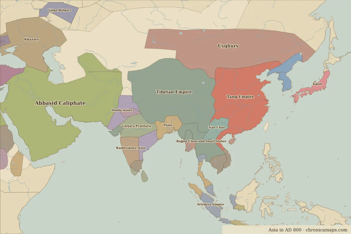 Borobudur
Open Borobudur in the interactive map
Who ruled this place
Derived from the border maps; each row runs until the next recorded border change.
| Period | State |
|---|---|
| 500 BC–324 BC | Austronesians |
| 323 BC–201 BC | Unclaimed / no data |
| 200 BC–101 BC | Malays |
| 100 BC–599 | Unclaimed / no data |
| 600–999 | Mataram |
| 1000–1299 | East Java |
| 1300–1491 | Kediri |
| 1492–1649 | Malaysian Islamic states |
| 1650–1814 | Dutch East Indies |
| 1815–1879 | Unclaimed / no data |
| 1880–1919 | Netherlands Indies |
| 1920–1944 | Dutch East Indies |
| 1945–today | Indonesia |
More: Historic landmarks of Indonesia · All landmarks
Further reading
Last updated 9 November 2026. Sources: border data from historical-basemaps, land and rivers from Natural Earth; texts written for Chronica Maps from standard reference works. How we make the maps.