Ananda Temple: Then and Now
One of the finest of the thousands of temples on the plain of Bagan, completed in 1105 under King Kyansittha.
Historical view


Today


Key facts
| Country today | Myanmar |
| Status | Standing |
| Date | 1105 |
| Nearest city on the map | Yangon (about 497 km) |
| Location | 21.171° N, 94.869° E |
 Ananda Temple
Open Ananda Temple in the interactive map
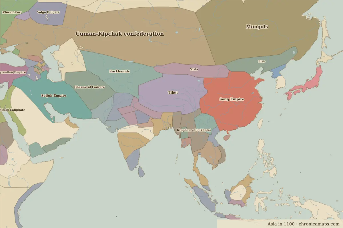
Who ruled this place
Derived from the border maps; each row runs until the next recorded border change.
| Period | State |
|---|---|
| 500 BC–401 BC | Unclaimed / no data |
| 400 BC–324 BC | Austro-Asiatic rice cultures |
| 323 BC–201 BC | Unclaimed / no data |
| 200 BC–101 BC | Thai |
| 100 BC–799 | Unclaimed / no data |
| 800–899 | Pyu state |
| 900–999 | Pagan |
| 1000–1099 | Kingdom of Pagan |
| 1100–1299 | Pyu state |
| 1300–1491 | Pagan |
| 1492–1649 | Burmese kingdoms |
| 1650–1782 | Ava |
| 1783–1879 | Burma |
| 1880–1944 | British Raj |
| 1945–today | Burma |
More: Historic landmarks of Myanmar · All landmarks
Further reading
Last updated 9 November 2026. Sources: border data from historical-basemaps, land and rivers from Natural Earth; texts written for Chronica Maps from standard reference works. How we make the maps.