Independence and modern Africa 1957–today
African states win independence and South Africa ends apartheid.
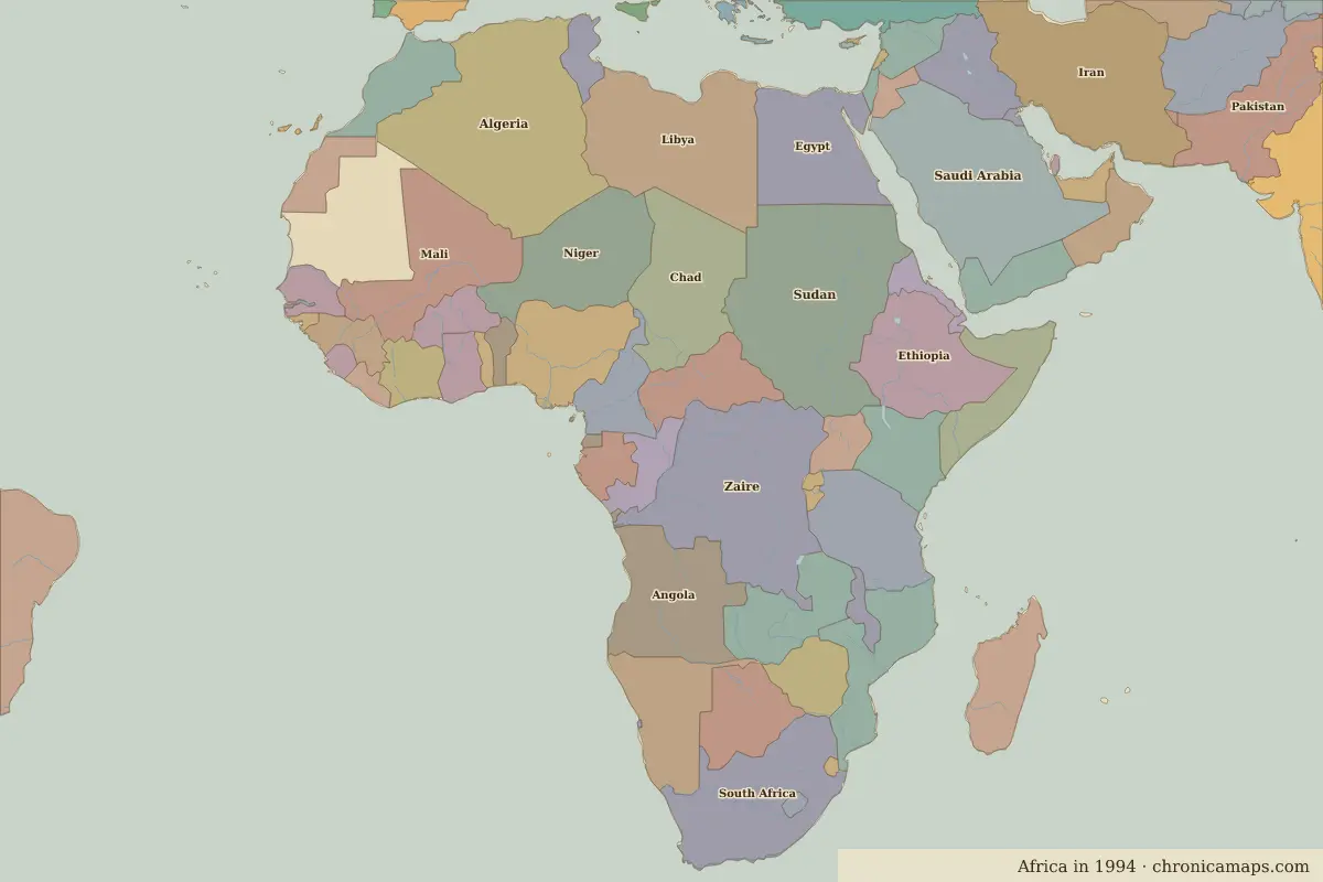
Open the Independence and modern Africa in the interactive map
Border maps in this era
Timeline
| Year | Event | Where |
|---|---|---|
| 1960 | The Year of Africa: seventeen African states become independent | Lagos |
| 1964 | Nelson Mandela is imprisoned on Robben Island | Robben Island |
| 1994 | South Africa's first multiracial election | Johannesburg |
Battles and sites
- Robben Island · 1964
← Scramble for Africa and colonial rule
Notable people of the Independence and modern Africa
| Lived | Person | |
|---|---|---|
| 1892 – 1975 | Haile Selassie I | Emperor of Ethiopia |
| c. 1897 – 1978 | Jomo Kenyatta | First president of Kenya |
| 1909 – 1972 | Kwame Nkrumah | First leader of Ghana |
| 1918 – 2013 | Nelson Mandela | President of South Africa |
Last updated 9 November 2026. Sources: border data from historical-basemaps, land and rivers from Natural Earth; texts written for Chronica Maps from standard reference works. How we make the maps.