Tabriz: History, Former Names & Timeline
Trading city of north-western Iran, capital of the Ilkhanate and of the early Safavids; its great bazaar is a World Heritage Site.
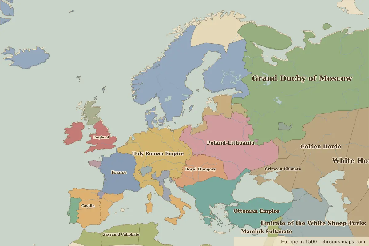 Tabriz
Explore Tabriz in the interactive map
Former names of Tabriz
| From | Name | Note |
|---|---|---|
| AD 700 | Tabriz |
Timeline of Tabriz
| Year | Event |
|---|---|
| 1265 | Abaqa Khan moves the Ilkhanate capital to Tabriz |
| 1501 | Ismail I is proclaimed shah in Tabriz, founding the Safavid dynasty |
| 1514 | The Ottomans occupy Tabriz after the Battle of Chaldiran |
| 1555 | The Safavids move their capital to Qazvin |
| 1908 | Tabriz holds out against a royalist siege during the Constitutional Revolution |
Who ruled Tabriz
Derived from the border maps; each row runs until the next recorded border change.
| Period | State |
|---|---|
| 500 BC–324 BC | Achaemenid Empire |
| 323 BC–201 BC | Atropatene |
| 200 BC–2 BC | minor states |
| 1 BC–399 | Parthian Empire |
| 400–499 | Persia |
| 500–699 | Sasanian Empire |
| 700–799 | Umayyad Caliphate |
| 800–999 | Abbasid Caliphate |
| 1000–1299 | Armenia |
| 1300–1399 | Ilkhanate |
| 1400–1491 | Timurid Empire |
| 1492–1599 | Emirate of the White Sheep Turks |
| 1600–1782 | Ottoman Empire |
| 1783–1919 | Persia |
| 1920–today | Iran |
Nearby cities
Further reading
Questions about Tabriz
Which states have ruled Tabriz?
On the historical border maps from 500 BC to today, Tabriz lies within 14 different states: Achaemenid Empire, Atropatene, minor states, Parthian Empire, Persia, Sasanian Empire, Umayyad Caliphate, Abbasid Caliphate, Armenia, Ilkhanate and others.
What are the key dates in the history of Tabriz?
1265: Abaqa Khan moves the Ilkhanate capital to Tabriz. 1501: Ismail I is proclaimed shah in Tabriz, founding the Safavid dynasty. 1514: The Ottomans occupy Tabriz after the Battle of Chaldiran. 1555: The Safavids move their capital to Qazvin. 1908: Tabriz holds out against a royalist siege during the Constitutional Revolution.
Last updated 9 November 2026. Sources: border data from historical-basemaps, land and rivers from Natural Earth; texts written for Chronica Maps from standard reference works. How we make the maps.