Montevideo: History, Former Names & Timeline
Port on the north shore of the Río de la Plata, founded as a Spanish fortress against Portugal; today the capital of Uruguay.
 Montevideo
Explore Montevideo in the interactive map
Former names of Montevideo
| From | Name | Note |
|---|---|---|
| 1724 | Montevideo |
Timeline of Montevideo
| Year | Event |
|---|---|
| 1724 | The Spanish build a fortress here |
| 1807 | British forces occupy Montevideo |
| 1828 | Uruguay becomes independent |
| 1843 | The Great Siege begins and lasts eight years |
| 1930 | Montevideo hosts the first football World Cup |
Who ruled Montevideo
Derived from the border maps; each row runs until the next recorded border change.
| Period | State |
|---|---|
| 500 BC–1491 | Pampas cultures |
| 1492–1499 | Charrúa |
| 1500–1782 | Pampas cultures |
| 1783–1814 | Viceroyalty of the Río de la Plata |
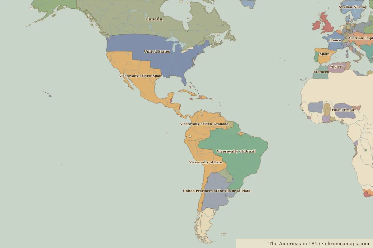
| 1815–1879 | United Provinces of the Río de la Plata |
| 1880–today | Uruguay |
Nearby cities
- Buenos Aires · about 203 km
Further reading
Questions about Montevideo
Which states have ruled Montevideo?
On the historical border maps from 500 BC to today, Montevideo lies within 5 different states: Pampas cultures, Charrúa, Viceroyalty of the Río de la Plata, United Provinces of the Río de la Plata, Uruguay.
What are the key dates in the history of Montevideo?
1724: The Spanish build a fortress here. 1807: British forces occupy Montevideo. 1828: Uruguay becomes independent. 1843: The Great Siege begins and lasts eight years. 1930: Montevideo hosts the first football World Cup.
Last updated 9 November 2026. Sources: border data from historical-basemaps, land and rivers from Natural Earth; texts written for Chronica Maps from standard reference works. How we make the maps.