Chicago: History, Former Names & Timeline
Hub between the Great Lakes and the Mississippi, the fastest-growing American city of the nineteenth century and the birthplace of the skyscraper.
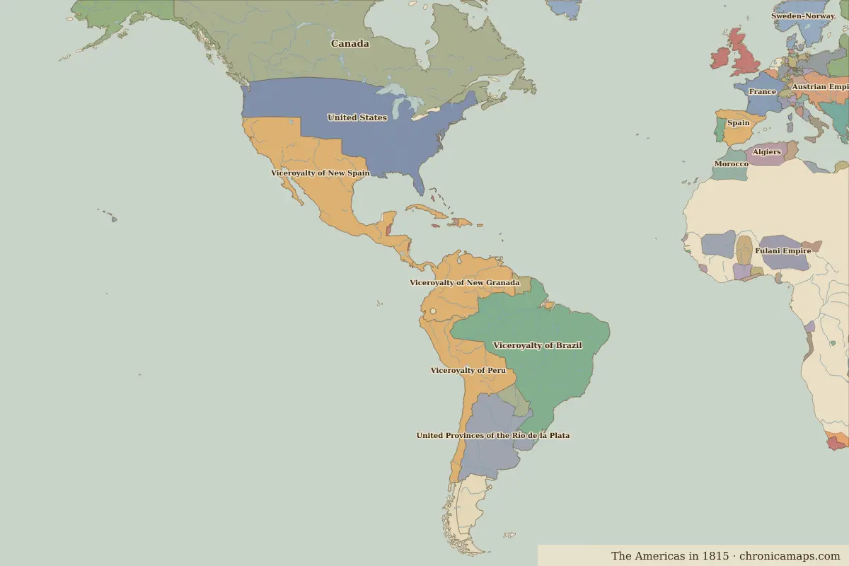 Chicago
Explore Chicago in the interactive map
Former names of Chicago
| From | Name | Note |
|---|---|---|
| 1833 | Chicago |
Timeline of Chicago
| Year | Event |
|---|---|
| 1833 | Chicago is incorporated as a town |
| 1848 | The Illinois and Michigan Canal opens |
| 1871 | The Great Chicago Fire |
| 1885 | The Home Insurance Building, often called the first skyscraper, is completed |
| 1893 | Chicago hosts the World’s Columbian Exposition |
Who ruled Chicago
Derived from the border maps; each row runs until the next recorded border change.
| Period | State |
|---|---|
| 500 BC–101 BC | Eastern North American hunter-gatherers |
| 100 BC–499 | Hopewell Culture |
| 500–599 | Goodall Focus |
| 600–1491 | Eastern North American hunter-gatherers |
| 1492–1499 | Kiikaapoi (Kickapoo) |
| 1500–1599 | Unclaimed / no data |
| 1600–1782 | Illinois |
| 1783–1814 | United States of America |
| 1815–1879 | United States |
| 1880–1913 | United States of America |
| 1914–today | United States |
Further reading
Questions about Chicago
Which states have ruled Chicago?
On the historical border maps from 500 BC to today, Chicago lies within 7 different states: Eastern North American hunter-gatherers, Hopewell Culture, Goodall Focus, Kiikaapoi (Kickapoo), Illinois, United States of America, United States.
What are the key dates in the history of Chicago?
1833: Chicago is incorporated as a town. 1848: The Illinois and Michigan Canal opens. 1871: The Great Chicago Fire. 1885: The Home Insurance Building, often called the first skyscraper, is completed. 1893: Chicago hosts the World’s Columbian Exposition.
Last updated 9 November 2026. Sources: border data from historical-basemaps, land and rivers from Natural Earth; texts written for Chronica Maps from standard reference works. How we make the maps.