Battle of Pearl Harbor 1941
Japanese carrier aircraft attack the US Pacific Fleet's base; the United States declares war on Japan.
 Pearl Harbor
Open Battle of Pearl Harbor in the interactive map
Key facts
| Date | 1941 |
| Type | Battle |
| Location | 21.36° N, 157.95° W |
| Nearest city on the map | Honolulu (about 11 km) |
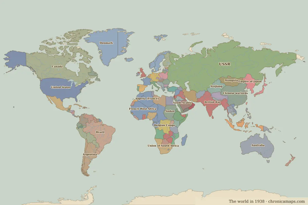
| Territory of (map of 1938) | United States |
Rulers in 1941
| Realm | Ruler | Reign |
|---|---|---|
| England / UK | Edward VIII / George VI | 1936–1952 |
| China | Chiang Kai-shek | 1928–1949 |
| United States | Franklin D. Roosevelt | 1933–1945 |
The world around 1941
| Year | Event | Where |
|---|---|---|
| 1942 | Battle of Midway | Battle of Midway |
Further reading
Last updated 9 November 2026. Sources: border data from historical-basemaps, land and rivers from Natural Earth; texts written for Chronica Maps from standard reference works. How we make the maps.