Guanahani (San Salvador) 1492
Columbus's fleet makes its first landfall in the Americas on this Bahamian island, beginning lasting contact between Europe and the Americas.
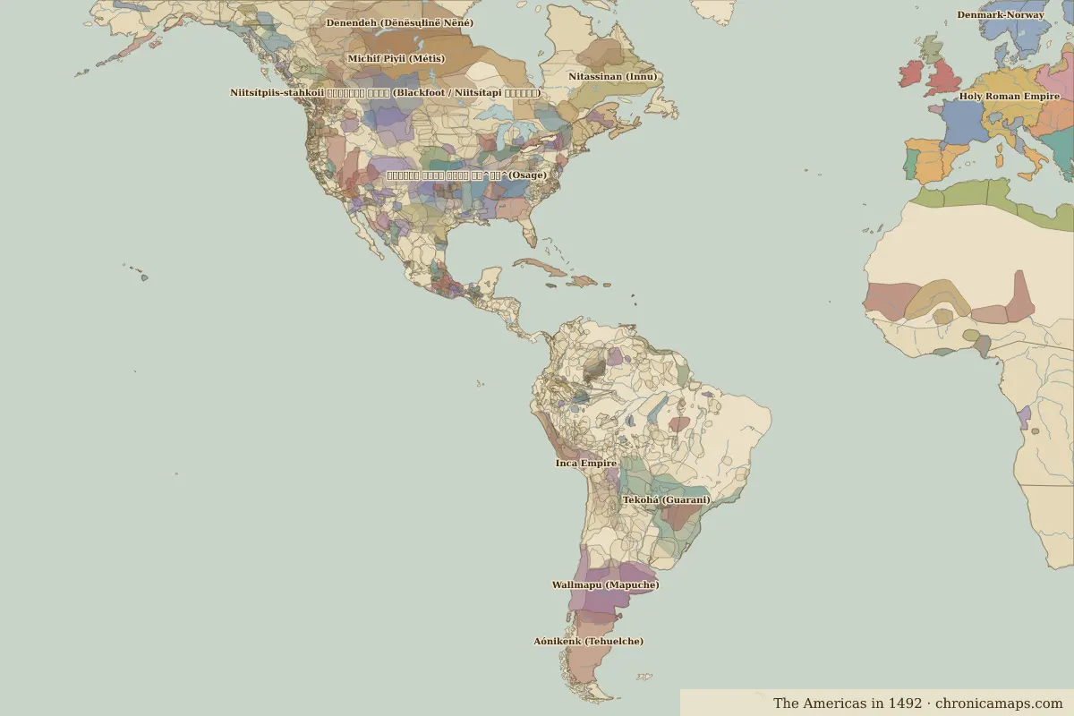 Guanahani (San Salvador)
Open Guanahani (San Salvador) in the interactive map
Key facts
| Date | 1492 |
| Type | Historic site or event |
| Location | 24.05° N, 74.50° W |
| Territory of (map of 1492) | Unclaimed / no data |
Rulers in 1492
| Realm | Ruler | Reign |
|---|---|---|
| Spain | The Catholic Monarchs | 1479–1516 |
| Aztecs | Ahuitzotl | 1486–1502 |
| Inca | Topa Inca Yupanqui | 1471–1493 |
Further reading
Last updated 9 November 2026. Sources: border data from historical-basemaps, land and rivers from Natural Earth; texts written for Chronica Maps from standard reference works. How we make the maps.