Battle of Blood River 1838
Voortrekkers in a wagon laager repel a Zulu army; the river runs red and the battle becomes a symbol of Afrikaner nationalism.
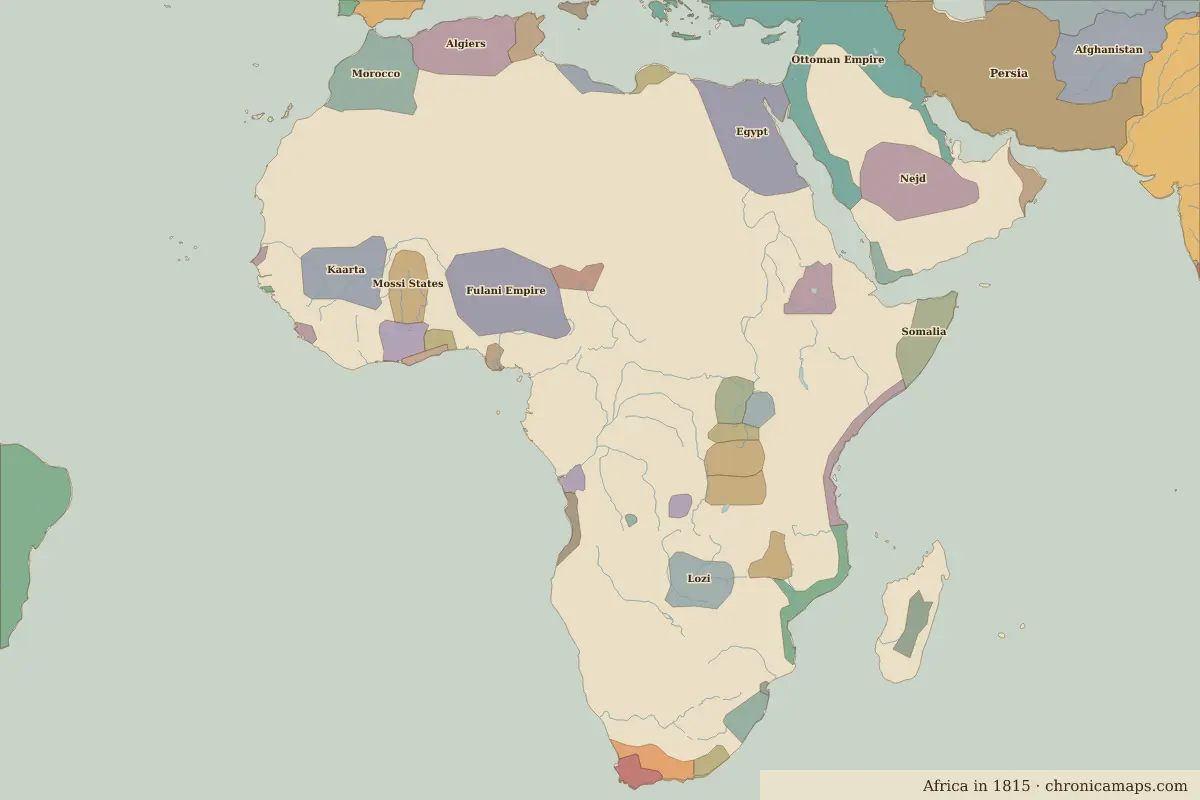 Blood River
Open Battle of Blood River in the interactive map
Key facts
| Date | 1838 |
| Type | Battle |
| Location | 28.10° S, 30.56° E |
| Nearest city on the map | Johannesburg (about 326 km) |
| Territory of (map of 1815) | Zulu |
Rulers in 1838
| Realm | Ruler | Reign |
|---|---|---|
| France | Louis-Philippe | 1830–1848 |
| Ottomans / Turkey | Mahmud II | 1808–1839 |
| Egypt | Muhammad Ali | 1805–1848 |
Other battles and sites nearby
- Battle of Isandlwana · 1879
Further reading
Last updated 9 November 2026. Sources: border data from historical-basemaps, land and rivers from Natural Earth; texts written for Chronica Maps from standard reference works. How we make the maps.