Battle of Isandlwana 1879
A Zulu army destroys a British column, one of the worst defeats of Britain's colonial wars.
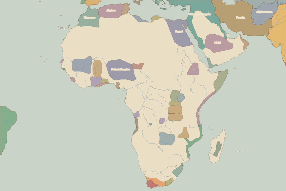 Isandlwana
Open Battle of Isandlwana in the interactive map
Key facts
| Date | 1879 |
| Type | Battle |
| Location | -28.36° N, 30.65° E |
| Nearest city on the map | Johannesburg (about 352 km) |
| Territory of (map of 1815) | Zulu |
Rulers in 1879
| Realm | Ruler | Reign |
|---|---|---|
| Franks / HRE / Germany | Kaiser Wilhelm I | 1871–1888 |
| France | Third Republic | 1870–1940 |
| England / UK | Queen Victoria | 1837–1901 |
| Rus' / Russia | Alexander II | 1855–1881 |
| Ottomans / Turkey | Abdul Hamid II | 1876–1909 |