Port Arthur: Then and Now
Convict settlement in Tasmania founded in 1830, where repeat offenders from across the Australian colonies were held.
As it was


The ruins today


Key facts
| Country today | Australia |
| Status | Ruins |
| Date | 1830 |
| Nearest city on the map | Hobart (about 52 km) |
| Location | 43.146° S, 147.851° E |
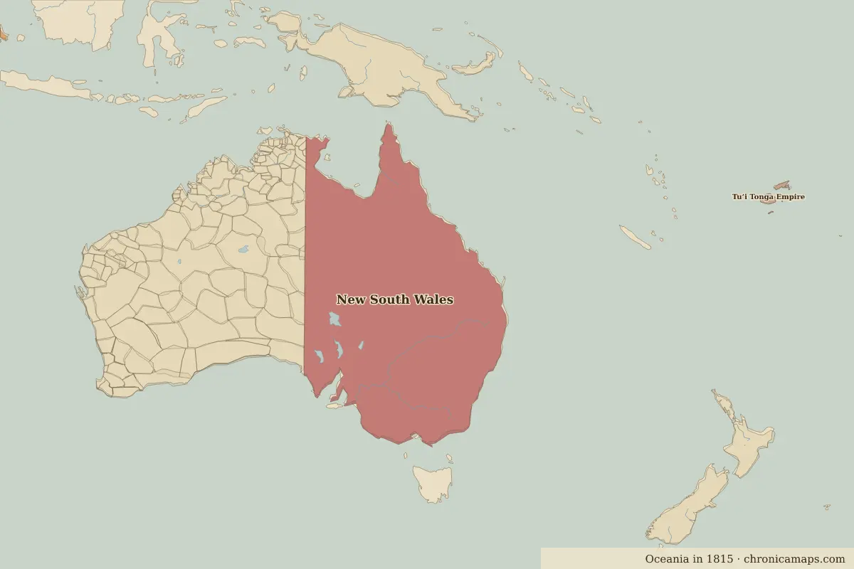 Port Arthur
Open Port Arthur in the interactive map
Who ruled this place
Derived from the border maps; each row runs until the next recorded border change.
| Period | State |
|---|---|
| 500 BC–301 BC | Tasmanian hunter-gatherers |
| 300 BC–201 BC | Australian aboriginal hunter-gatherers |
| 200 BC–1782 | Tasmanian hunter-gatherers |
| 1783–1814 | Aboriginal Tasmanians |
| 1815–1913 | Unclaimed / no data |
| 1914–today | Australia |
More: Historic landmarks of Australia · All landmarks
Further reading
Last updated 9 November 2026. Sources: border data from historical-basemaps, land and rivers from Natural Earth; texts written for Chronica Maps from standard reference works. How we make the maps.