Nan Madol: Then and Now
City of basalt-log islets built off Pohnpei from the twelfth century, seat of the Saudeleur dynasty.
The ruins today


Key facts
| Country today | Micronesia |
| Status | Ruins |
| Date | 1180 |
| Location | 6.844° N, 158.335° E |
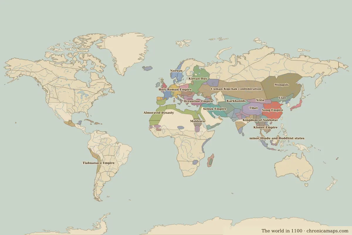 Nan Madol
Open Nan Madol in the interactive map
Who ruled this place
Derived from the border maps; each row runs until the next recorded border change.
| Period | State |
|---|---|
| 500 BC–today | Unclaimed / no data |
More: Historic landmarks of Micronesia · All landmarks
Further reading
Last updated 9 November 2026. Sources: border data from historical-basemaps, land and rivers from Natural Earth; texts written for Chronica Maps from standard reference works. How we make the maps.