Mogao Caves: Then and Now
Nearly five hundred Buddhist cave temples cut into a cliff outside Dunhuang between the fourth and fourteenth centuries; the sealed Library Cave was found in 1900.
Today


Key facts
| Country today | China |
| Status | Standing |
| Date | AD 366 |
| Nearest city on the map | Dunhuang (about 17 km) |
| Location | 40.042° N, 94.809° E |
 Mogao Caves
Open Mogao Caves in the interactive map
Who ruled this place
Derived from the border maps; each row runs until the next recorded border change.
| Period | State |
|---|---|
| 500 BC–401 BC | Proto-Altaic pastoralists |
| 400 BC–324 BC | Xiongnu |
| 323 BC–201 BC | Unclaimed / no data |
| 200 BC–101 BC | Yuezhi |
| 100 BC–2 BC | Unclaimed / no data |
| 1 BC–299 | Han |
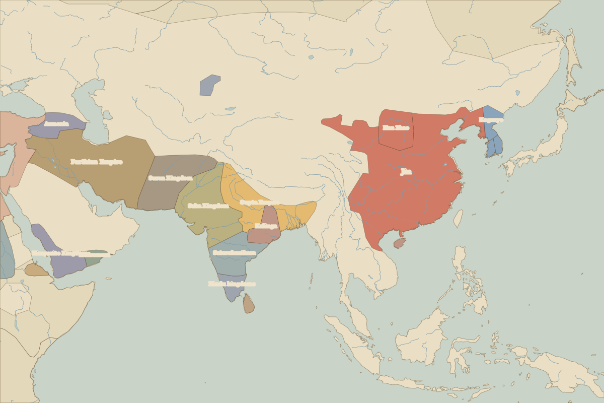
| 300–399 | Jin |
| 400–499 | Northern Liang |
| 500–699 | Unclaimed / no data |
| 700–799 | Karluks |
| 800–999 | Tibetan Empire |
| 1000–1299 | Xixia |
| 1300–1399 | Great Khanate |
| 1400–1491 | Northern Yuan |
| 1492–1599 | Chagatai Khanate |
| 1600–1782 | central Asian khanates |
| 1783–1814 | Qing Empire |
| 1815–1919 | Manchu Empire |
| 1920–1937 | Chinese Warlords |
| 1938–1944 | Chinese warlords |
| 1945–today | China |