Moai of Rapa Nui: Then and Now
Nearly a thousand stone figures carved by the Rapa Nui between about 1250 and 1500 to honour their ancestors.
Historical view
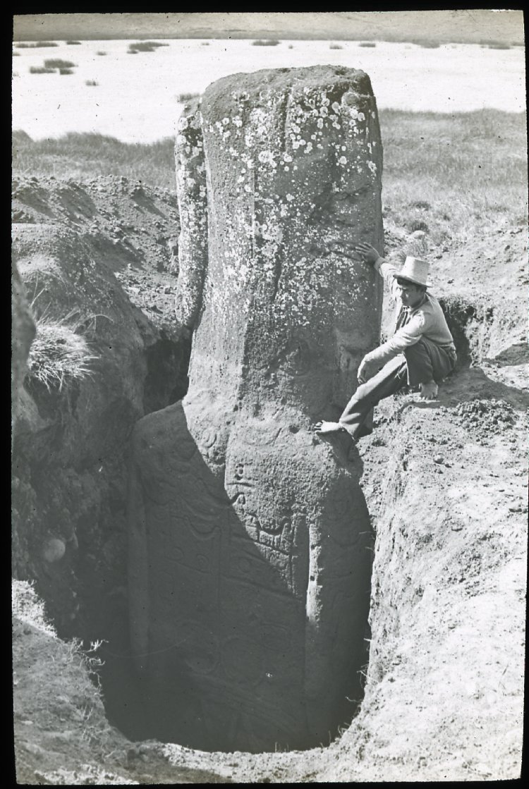

Today


Key facts
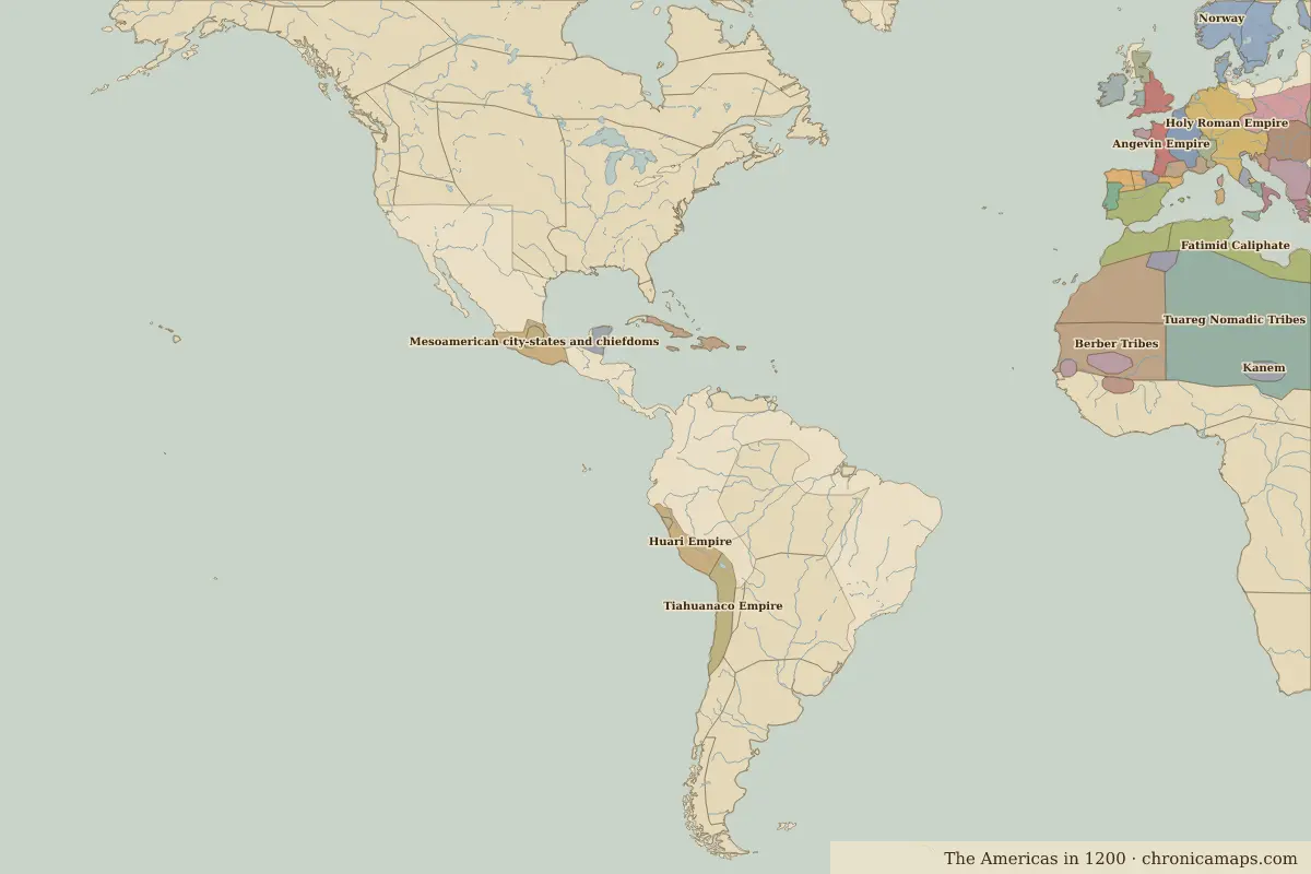 Moai of Rapa Nui
Open Moai of Rapa Nui in the interactive map
Who ruled this place
Derived from the border maps; each row runs until the next recorded border change.
| Period | State |
|---|---|
| 500 BC–1199 | Unclaimed / no data |
| 1200–1814 | Polynesians |
| 1815–today | Unclaimed / no data |
More: Historic landmarks of Chile · All landmarks
Further reading
Last updated 9 November 2026. Sources: border data from historical-basemaps, land and rivers from Natural Earth; texts written for Chronica Maps from standard reference works. How we make the maps.