Angkor Wat: Then and Now
Temple built by the Khmer king Suryavarman II in the twelfth century, first to Vishnu and later Buddhist; the largest religious monument in the world.
Historical view


Today


Key facts
| Country today | Cambodia |
| Status | Standing |
| Date | 1150 |
| Nearest city on the map | Bangkok (about 366 km) |
| Location | 13.412° N, 103.867° E |
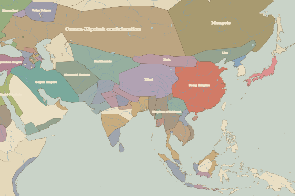 Angkor Wat
Open Angkor Wat in the interactive map
Who ruled this place
Derived from the border maps; each row runs until the next recorded border change.
| Period | State |
|---|---|
| 500 BC–401 BC | Unclaimed / no data |
| 400 BC–324 BC | Austro-Asiatic rice cultures |
| 323 BC–201 BC | Unclaimed / no data |
| 200 BC–101 BC | Mon-Khmer |
| 100 BC–499 | Unclaimed / no data |
| 500–599 | Funan |
| 600–899 | Chen-La |
| 900–1491 | Khmer Empire |
| 1492–1782 | Ayutthaya |
| 1783–1879 | Cambodia |
| 1880–1919 | French Indochina |
| 1920–1937 | French Indo-China |
| 1938–today | Cambodia |
Other landmarks nearby
 Wat Phra Si SanphetRuins · 1448