Battle of Kokoda Track 1942
Australian troops on a jungle mountain track in New Guinea halt the Japanese advance on Port Moresby.
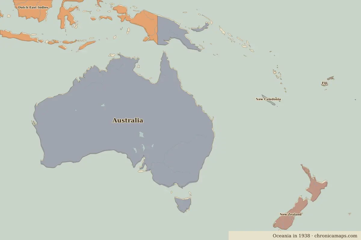 Kokoda Track
Open Battle of Kokoda Track in the interactive map
Key facts
Rulers in 1942
| Realm | Ruler | Reign |
|---|---|---|
| England / UK | Edward VIII / George VI | 1936–1952 |
| Australia (PM) | John Curtin | 1941–1945 |
Further reading
Last updated 9 November 2026. Sources: border data from historical-basemaps, land and rivers from Natural Earth; texts written for Chronica Maps from standard reference works. How we make the maps.