Nalanda: Then and Now
Great Buddhist monastery and university of ancient India, where Xuanzang studied. It was sacked around 1200 and its ruins excavated from 1915.
As it was


The ruins today


Key facts
| Country today | India |
| Status | Ruins |
| Date | AD 427 |
| Nearest city on the map | Patna (about 59 km) |
| Location | 25.136° N, 85.444° E |
 Nalanda
Open Nalanda in the interactive map
Who ruled this place
Derived from the border maps; each row runs until the next recorded border change.
| Period | State |
|---|---|
| 500 BC–401 BC | Hindu kingdoms |
| 400 BC–301 BC | Magadha |
| 300 BC–2 BC | Mauryan Empire |
| 1 BC–399 | Kalinga |
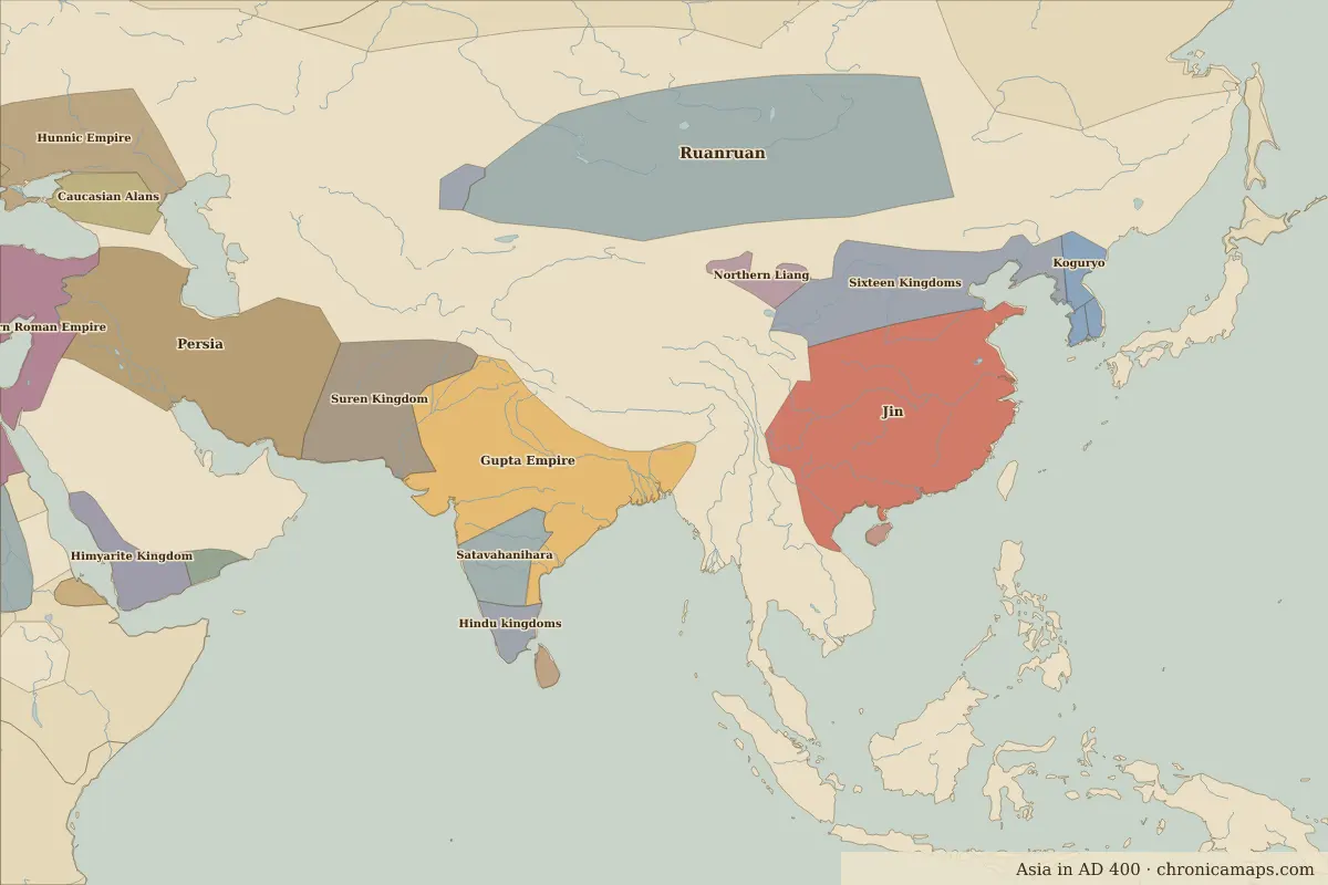
| 400–599 | Gupta Empire |
| 600–699 | Shaskanka |
| 700–1199 | Palas |
| 1200–1599 | Sultanate of Delhi |
| 1600–1649 | Islamic and Hindu states |
| 1650–1782 | Mughal Empire |
| 1783–1799 | Bengal |
| 1800–1814 | Bundelkhand |
| 1815–1879 | British East India Company |
| 1880–1944 | British Raj |
| 1945–today | India |
Battles and sites nearby
- Bodh Gaya · 528 BC
More: Historic landmarks of India · All landmarks
Further reading
Last updated 9 November 2026. Sources: border data from historical-basemaps, land and rivers from Natural Earth; texts written for Chronica Maps from standard reference works. How we make the maps.