CChronica Maps

Abu Simbel: Then and Now

Two rock temples carved for Ramesses II around 1264 BC. In the 1960s they were cut into blocks and moved uphill to escape the waters of the Aswan High Dam.

Historical view
Abu Simbel, historical view
Abu Simbel photographed by Francis Frith in the 1850s. Francis Frith, CC0, via Wikimedia Commons
Today
Abu Simbel, today
youssef_alam, CC BY 3.0, via Wikimedia Commons

Key facts

Country todayEgypt
StatusStanding
Date1264 BC
Nearest city on the mapThebes (about 388 km)
Location22.337° N, 31.626° E
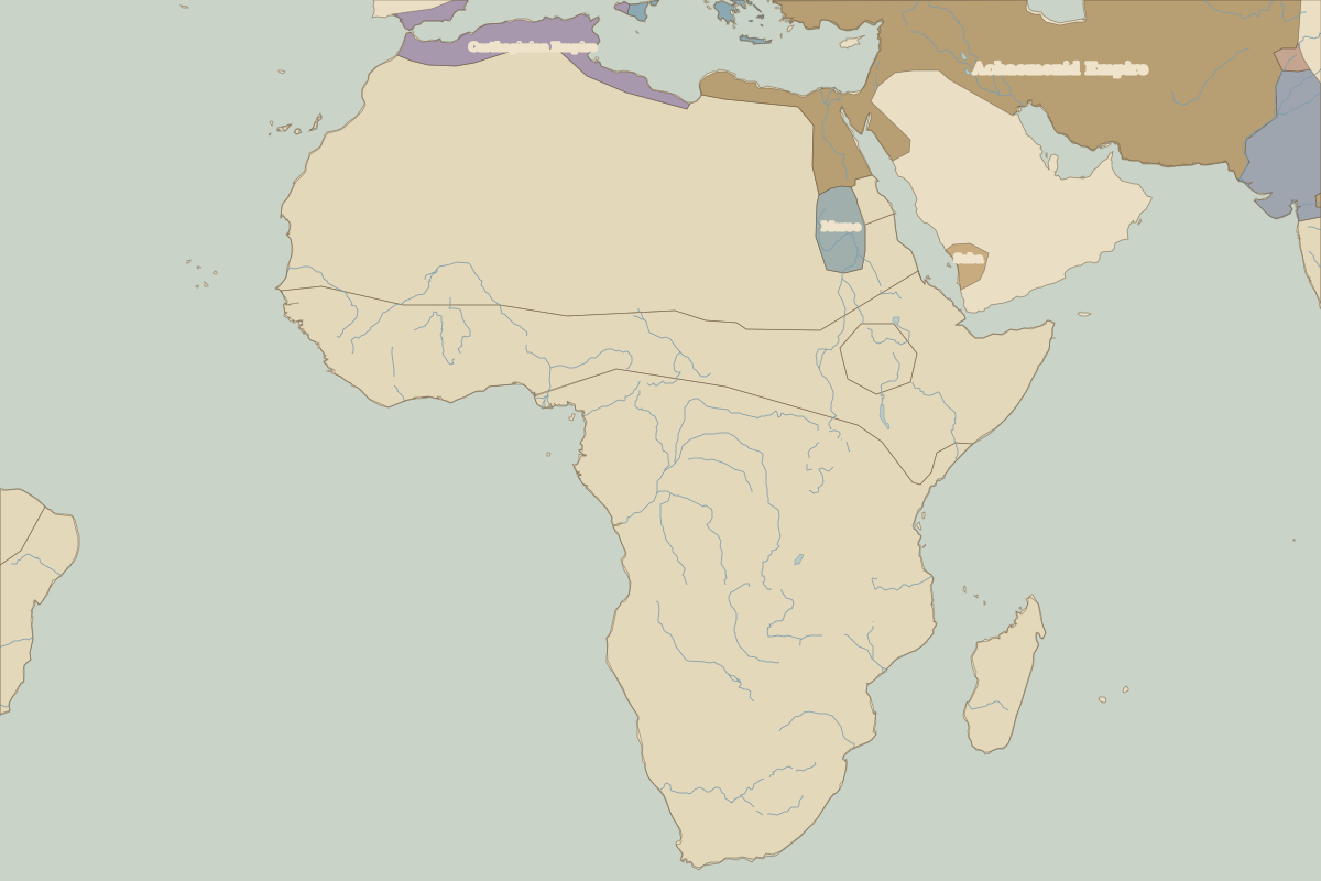
Map showing Abu Simbel in 500 BCAbu Simbel
Border map for 500 BC. See the world in 500 BC.

Open Abu Simbel in the interactive map

Embed this interactive map on your site

Free to use on blogs, school pages and course sites. Copy the code below; please keep the credit line.

Who ruled this place

Derived from the border maps; each row runs until the next recorded border change.

PeriodState
500 BC–401 BCMeroe
400 BC–324 BCKush
323 BC–499Meroe
500–599Makkura
600–799Nobatia
800–1299Makkura
1300–1599Unclaimed / no data
1600–1814Ottoman Empire
1815–todayEgypt

More: Historic landmarks of Egypt · All landmarks