Battle of Karbala AD 680
Husayn, grandson of the Prophet, and his followers are killed by an Umayyad army, an event that deeply shapes Shia faith and identity.
 Karbala
Open Battle of Karbala in the interactive map
Key facts
| Date | AD 680 |
| Type | Battle |
| Location | 32.62° N, 44.03° E |
| Nearest city on the map | Babylon (about 38 km) |
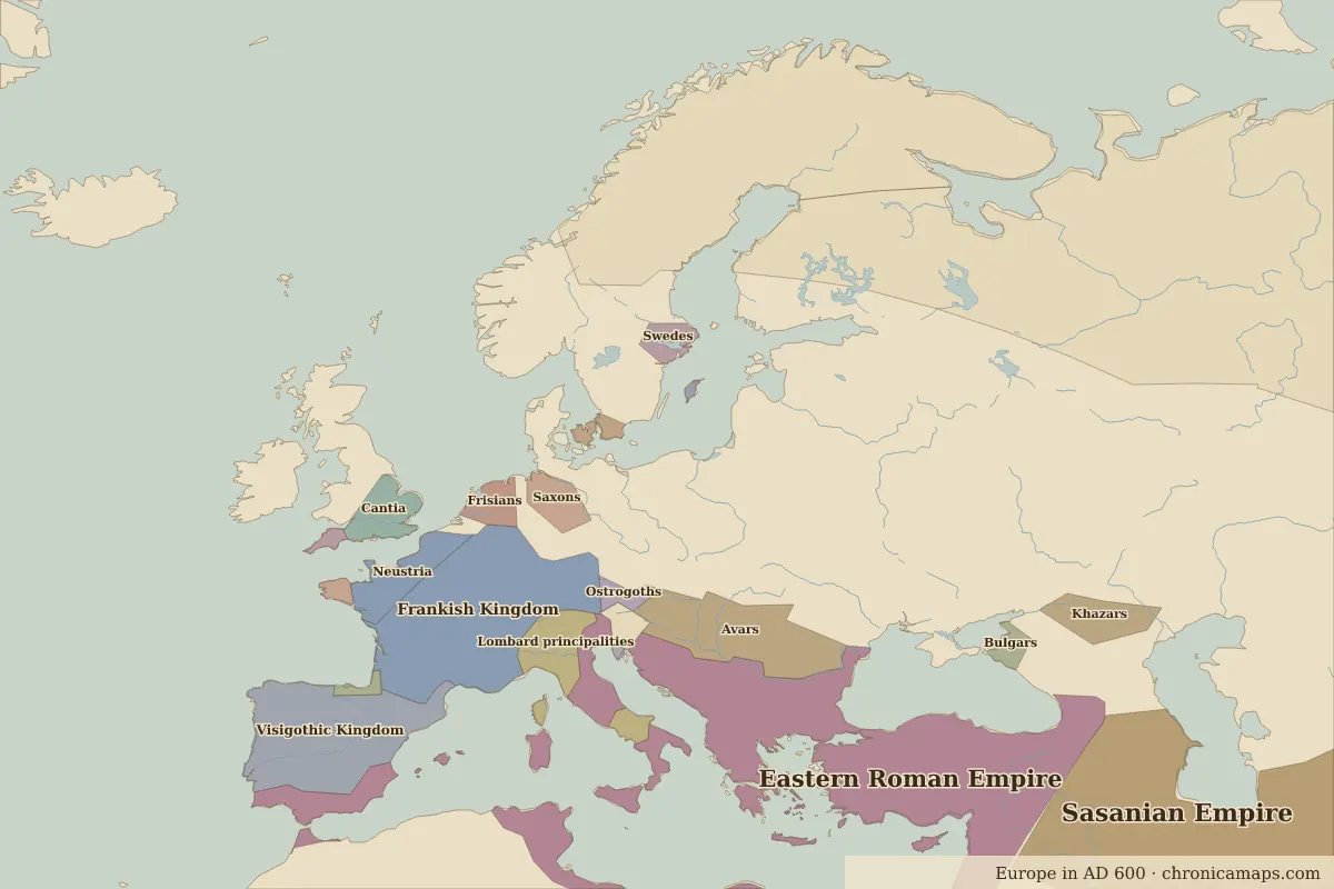
| Territory of (map of AD 600) | Sasanian Empire |
Rulers in AD 680
| Realm | Ruler | Reign |
|---|---|---|
| Byzantium | Constantine IV | 668–685 |
| Franks / HRE / Germany | Merovingian kings | 511–751 |
Other battles and sites nearby
- Battle of al-Qadisiyyah · AD 636
Further reading
Last updated 9 November 2026. Sources: border data from historical-basemaps, land and rivers from Natural Earth; texts written for Chronica Maps from standard reference works. How we make the maps.