Battle of Grunwald 1410
The Polish-Lithuanian army crushes the Teutonic Order in one of medieval Europe's largest battles.
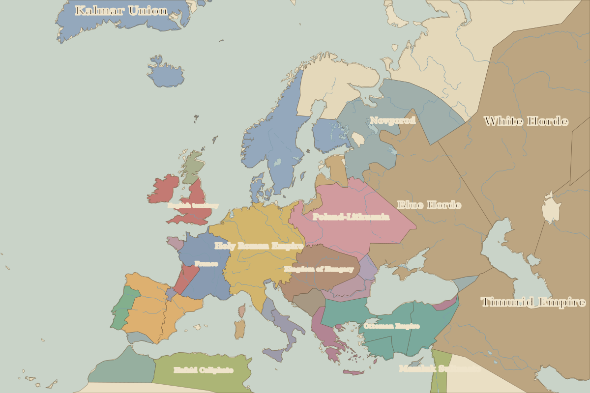 Grunwald
Open Battle of Grunwald in the interactive map
Key facts
| Date | 1410 |
| Type | Battle |
| Location | 53.48° N, 20.10° E |
| Nearest city on the map | Gdańsk (about 136 km) |
| Territory of (map of 1400) | Poland-Lithuania |
Rulers in 1410
| Realm | Ruler | Reign |
|---|
| Byzantium | Manuel II | 1391–1425 |
| Franks / HRE / Germany | Rupert | 1400–1410 |
| France | Charles VI | 1380–1422 |
| England / UK | Henry IV | 1399–1413 |
| Ottomans / Turkey | Interregnum | 1402–1413 |
The world around 1410
Other battles and sites nearby