Hagia Sophia: Then and Now
Justinian's cathedral, completed in 537 and the largest church in the world for nearly a thousand years. A mosque from 1453, a museum from 1934 and a mosque again since 2020.
Historical view


Today


Key facts
| Country today | Turkey |
| Status | Standing |
| Date | AD 537 |
| Nearest city on the map | İznik (about 90 km) |
| Location | 41.009° N, 28.980° E |
 Hagia Sophia
Open Hagia Sophia in the interactive map
Who ruled this place
Derived from the border maps; each row runs until the next recorded border change.
| Period | State |
|---|---|
| 500 BC–324 BC | Achaemenid Empire |
| 323 BC–301 BC | Cappadocia |
| 300 BC–201 BC | Bithynia |
| 200 BC–2 BC | minor states |
| 1 BC–299 | Roman Empire |
| 300–399 | Rome (Diocletianus) |
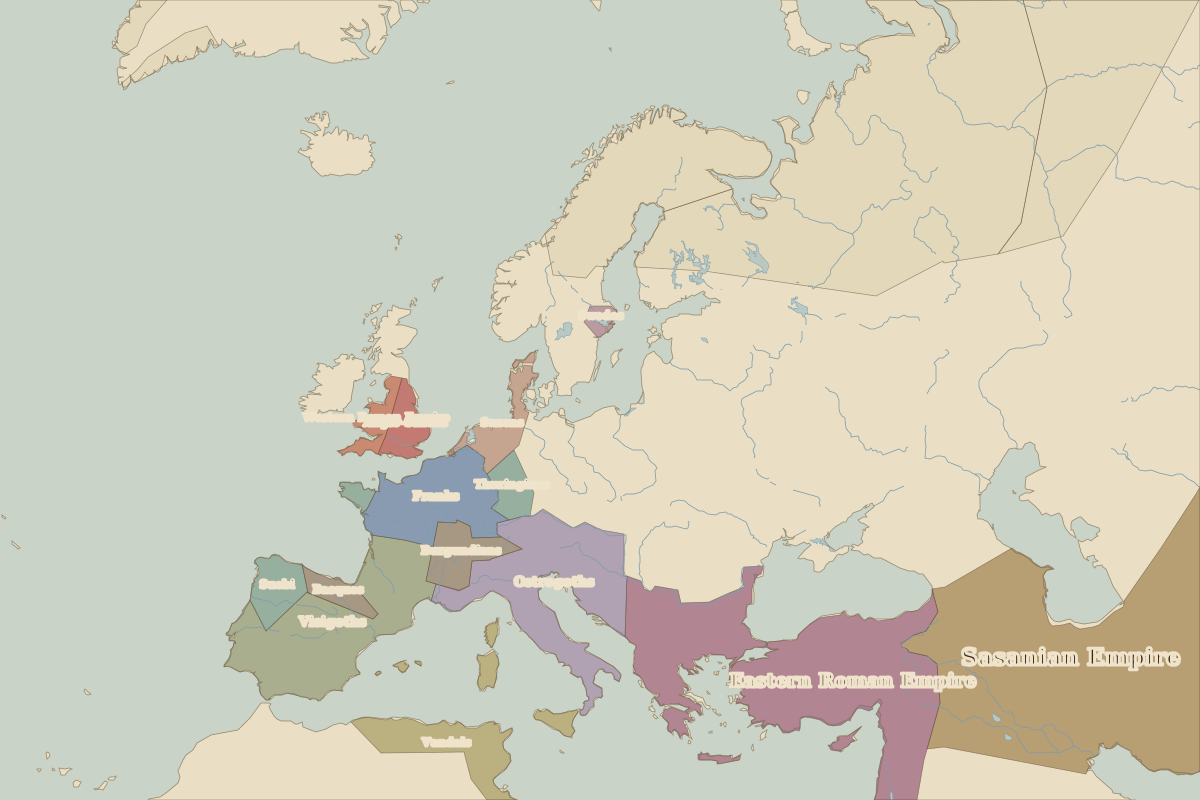
| 400–799 | Eastern Roman Empire |
| 800–1399 | Byzantine Empire |
| 1400–1919 | Ottoman Empire |
| 1920–1929 | Unclaimed / no data |
| 1930–1937 | Republic of Turkey |
| 1938–today | Turkey |
Other landmarks nearby
 Great Palace of ConstantinopleLost · AD 330
 Mausoleum at HalicarnassusLost · 350 BC
 Rila MonasteryStanding · AD 927