Battle of Dien Bien Phu 1954
The Viet Minh besiege and take the French fortress, ending French colonial rule in Indochina.
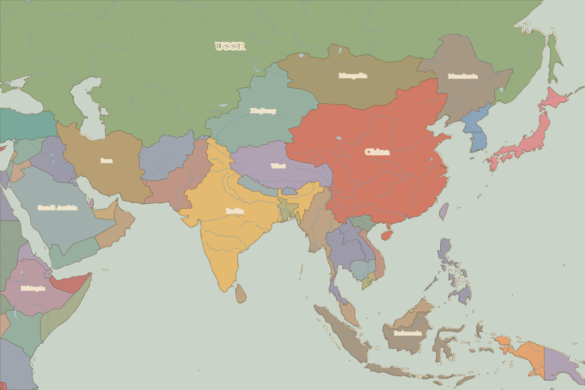 Dien Bien Phu
Open Battle of Dien Bien Phu in the interactive map
Key facts
| Date | 1954 |
| Type | Battle |
| Location | 21.39° N, 103.00° E |
| Nearest city on the map | Hanoi (about 298 km) |
| Territory of (map of 1945) | Tonkin |
Rulers in 1954
| Realm | Ruler | Reign |
|---|
| Franks / HRE / Germany | Adenauer (W. German chancellor) | 1949–1963 |
| France | Provisional Government and Fourth Republic | 1944–1958 |
| England / UK | Elizabeth II | 1952–2022 |
| Spain | Franco | 1939–1975 |
| Rus' / Russia | Khrushchev | 1953–1964 |
The world around 1954
| Year | Event | Where |
|---|
| 1949 | The People's Republic of China is proclaimed | Beijing |