Visby City Wall: Then and Now
Medieval ring wall of the Hanseatic town of Visby, about 3.4 km long and largely intact.
Historical view


Today


Key facts
| Country today | Sweden |
| Status | Standing |
| Date | 1300 |
| Nearest city on the map | Stockholm (about 188 km) |
| Location | 57.641° N, 18.295° E |
 Visby City Wall
Open Visby City Wall in the interactive map
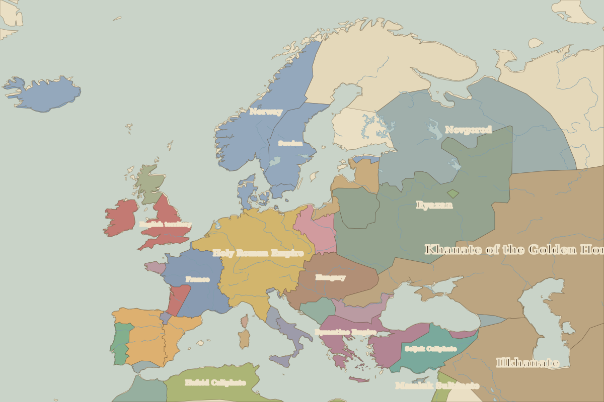
Who ruled this place
Derived from the border maps; each row runs until the next recorded border change.
| Period | State |
|---|---|
| 500 BC–599 | Unclaimed / no data |
| 600–799 | Guta |
| 800–999 | Unclaimed / no data |
| 1000–1299 | Sweden |
| 1300–1399 | Unclaimed / no data |
| 1400–1491 | Kalmar Union |
| 1492–1499 | Unclaimed / no data |
| 1500–1599 | Kalmar Union |
| 1600–1649 | Denmark-Norway |
| 1650–1814 | Sweden |
| 1815–1879 | Unclaimed / no data |
| 1880–1913 | Sweden–Norway |
| 1914–1919 | Sweden |
| 1920–1937 | Unclaimed / no data |
| 1938–1944 | Sweden |
| 1945–today | Unclaimed / no data |
Other landmarks nearby
 Kronborg CastleStanding · 1585
 Malbork CastleStanding · 1309