Lighthouse of Alexandria: Then and Now
Lighthouse on the island of Pharos, built around 280 BC and over 100 m tall. Earthquakes destroyed it by the 14th century, and Sultan Qaitbay built his citadel on its foundations in 1477.
As it was


The site today


Key facts
| Country today | Egypt |
| Status | Lost |
| Date | 280 BC |
| Nearest city on the map | Alexandria (about 4 km) |
| Location | 31.214° N, 29.886° E |
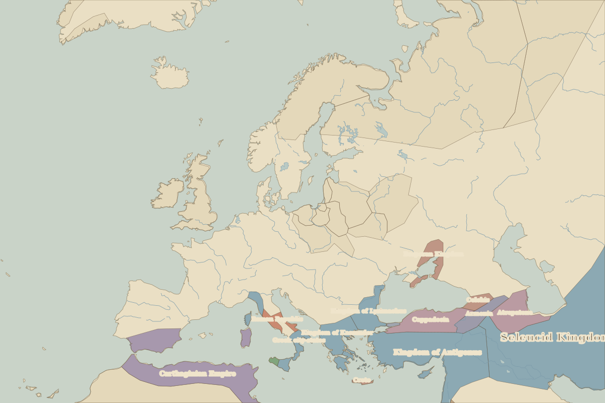 Lighthouse of Alexandria
Open Lighthouse of Alexandria in the interactive map
Who ruled this place
Derived from the border maps; each row runs until the next recorded border change.
| Period | State |
|---|---|
| 500 BC–324 BC | Achaemenid Empire |
| 323 BC–301 BC | Empire of Alexander |
| 300 BC–2 BC | Ptolemaic Kingdom |
| 1 BC–299 | Roman Empire |
| 300–399 | Rome (Diocletianus) |
| 400–699 | Eastern Roman Empire |
| 700–799 | Umayyad Caliphate |
| 800–999 | Abbasid Caliphate |
| 1000–1299 | Fatimid Caliphate |
| 1300–1599 | Mamluk Sultanate |
| 1600–1814 | Ottoman Empire |
| 1815–today | Egypt |