Newgrange: Then and Now
Passage tomb built around 3200 BC; at sunrise on the winter solstice, light enters its inner chamber.
Historical view


Today


Key facts
| Country today | Ireland |
| Status | Standing |
| Date | 500 BC |
| Nearest city on the map | Dublin (about 41 km) |
| Location | 53.695° N, -6.476° E |
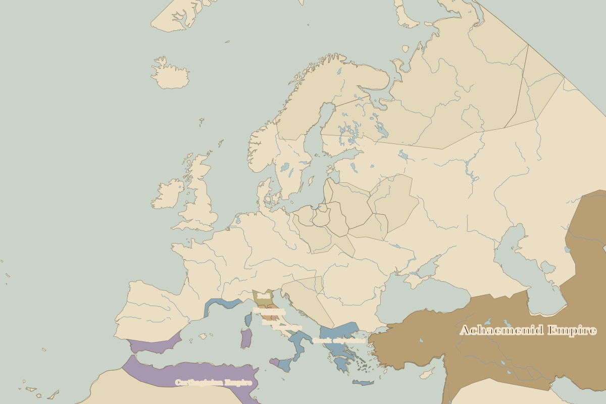 Newgrange
Open Newgrange in the interactive map
Who ruled this place
Derived from the border maps; each row runs until the next recorded border change.
| Period | State |
|---|---|
| 500 BC–401 BC | Unclaimed / no data |
| 400 BC–2 BC | Celts |
| 1 BC–799 | Unclaimed / no data |
| 800–999 | Irish kingdoms |
| 1000–1299 | Celtic kingdoms |
| 1300–1491 | English territory |
| 1492–1599 | England |
| 1600–1782 | England and Ireland |
| 1783–1814 | Kingdom of Ireland |
| 1815–1937 | United Kingdom of Great Britain and Ireland |
| 1938–today | Ireland |
Other landmarks nearby
 StonehengeRuins · 500 BC
 St Paul's CathedralRebuilt · 1711
 Old London BridgeLost · 1209
 Tower of LondonStanding · 1078