Alhambra: Then and Now
Palace-fortress of the Nasrid emirs of Granada, built mainly in the 13th and 14th centuries and surrendered to the Catholic Monarchs in 1492.
Today


Key facts
| Country today | Spain |
| Status | Standing |
| Date | 1238 |
| Nearest city on the map | Granada (about 1 km) |
| Location | 37.176° N, -3.588° E |
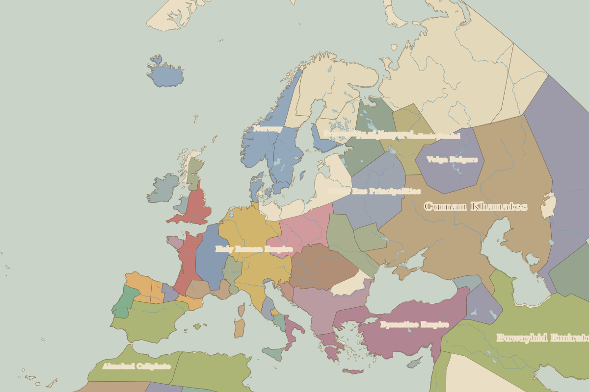 Alhambra
Open Alhambra in the interactive map
Who ruled this place
Derived from the border maps; each row runs until the next recorded border change.
| Period | State |
|---|---|
| 500 BC–201 BC | Carthaginian Empire |
| 200 BC–101 BC | Rome |
| 100 BC–2 BC | Roman Republic |
| 1 BC–299 | Roman Empire |
| 300–399 | Rome (Maximian) |
| 400–499 | Western Roman Empire |
| 500–599 | Visigoths |
| 600–699 | Eastern Roman Empire |
| 700–799 | Umayyad Caliphate |
| 800–999 | Emirate of Córdoba |
| 1000–1099 | Caliphate of Córdoba |
| 1100–1199 | Almoravid dynasty |
| 1200–1299 | Almohad Caliphate |
| 1300–1491 | Granada |
| 1492–1599 | Castile |
| 1600–today | Spain |
Other landmarks nearby
 Mosque–Cathedral of CórdobaStanding · AD 785
 Aqueduct of SegoviaStanding · AD 100