Battle of Las Navas de Tolosa 1212
Castile, Aragon and Navarre defeat the Almohads: the turning point of the Reconquista.
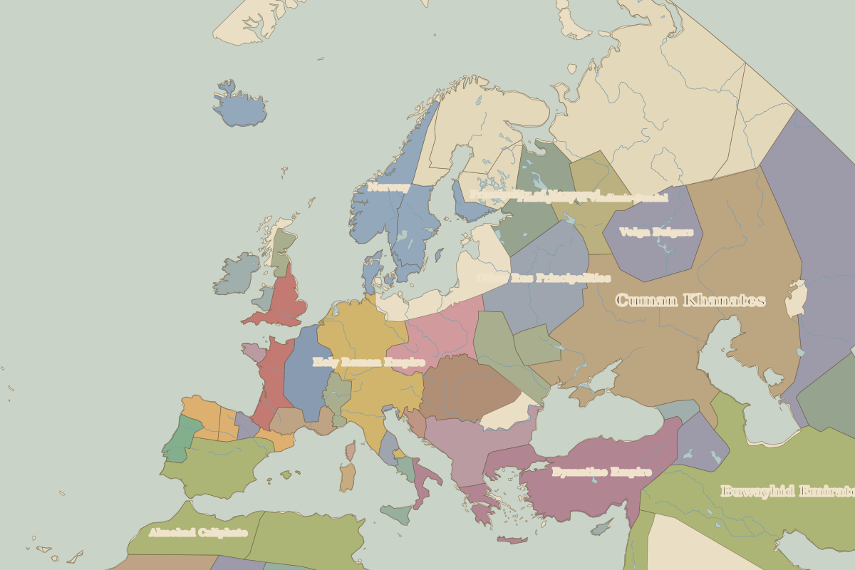 Las Navas de Tolosa
Open Battle of Las Navas de Tolosa in the interactive map
Key facts
| Date | 1212 |
| Type | Battle |
| Location | 38.28° N, -3.60° E |
| Nearest city on the map | Córdoba (about 112 km) |
| Territory of (map of 1200) | Almohad Caliphate |
Rulers in 1212
| Realm | Ruler | Reign |
|---|
| Byzantium | Empire of Nicaea in exile (Latin Empire holds the capital) | 1204–1261 |
| Franks / HRE / Germany | Frederick II | 1212–1250 |
| France | Philip II Augustus | 1180–1223 |
| England / UK | King John | 1199–1216 |
The world around 1212