Battle of Nicopolis 1396
Bayezid I destroys a crusading army of Western knights and Hungarians, the last large crusade of the Middle Ages.
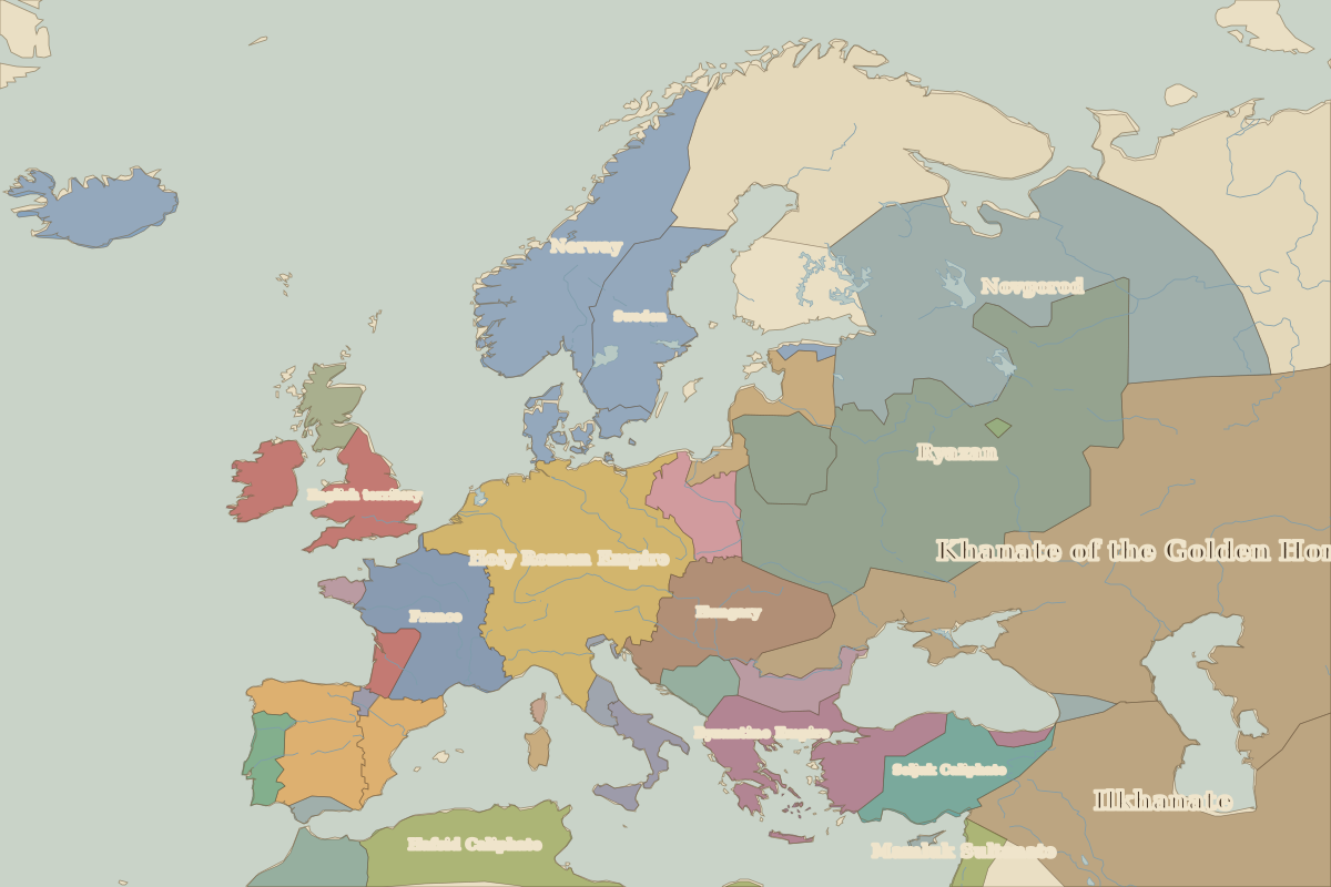 Nicopolis
Open Battle of Nicopolis in the interactive map
Key facts
Rulers in 1396
| Realm | Ruler | Reign |
|---|
| Byzantium | Manuel II | 1391–1425 |
| Franks / HRE / Germany | Wenceslaus | 1378–1400 |
| France | Charles VI | 1380–1422 |
| England / UK | Richard II | 1377–1399 |
| Ottomans / Turkey | Bayezid I | 1389–1402 |
Europe around 1396
| Year | Event | Where |
|---|
| 1397 | Kalmar Union formed | Kalmar |
Other battles and sites nearby