Kalmar 1397
Denmark, Norway and Sweden form a personal union at Kalmar under Margaret I.
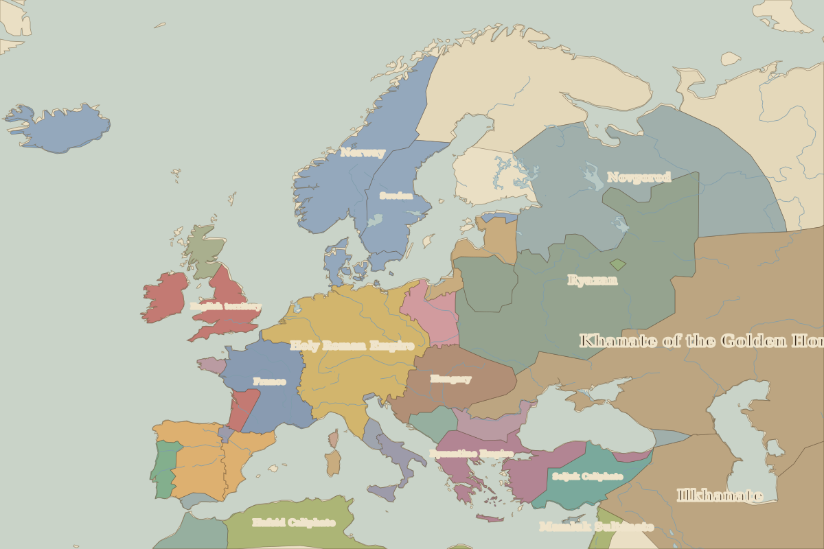 Kalmar
Open Kalmar in the interactive map
Key facts
| Date | 1397 |
| Type | Historic site or event |
| Location | 56.66° N, 16.36° E |
| Nearest city on the map | Visby (about 160 km) |
| Territory of (map of 1300) | Sweden |
Rulers in 1397
| Realm | Ruler | Reign |
|---|
| Byzantium | Manuel II | 1391–1425 |
| Franks / HRE / Germany | Wenceslaus | 1378–1400 |
| France | Charles VI | 1380–1422 |
| England / UK | Richard II | 1377–1399 |
| Ottomans / Turkey | Bayezid I | 1389–1402 |
Europe around 1397