Battle of Guadalcanal 1942
Six months of fighting between American and Japanese forces in the Solomon Islands turns the tide in the Pacific.
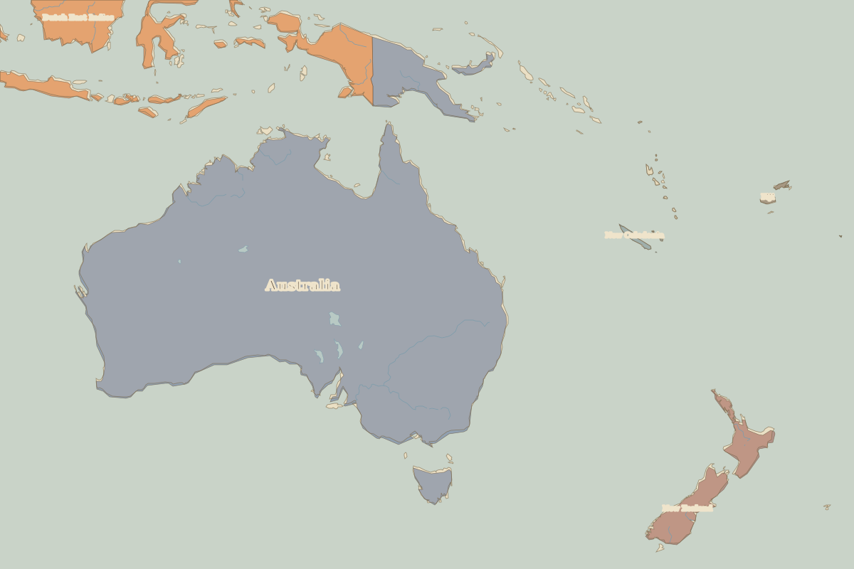 Guadalcanal
Open Battle of Guadalcanal in the interactive map
Key facts
| Date | 1942 |
| Type | Battle |
| Location | -9.50° N, 160.00° E |
| Territory of (map of 1938) | Unclaimed / no data |
Rulers in 1942
| Realm | Ruler | Reign |
|---|---|---|
| Franks / HRE / Germany | Hitler | 1933–1945 |
| France | Vichy / Free France | 1940–1944 |
| England / UK | Edward VIII / George VI | 1936–1952 |
| Spain | Franco | 1939–1975 |
| Rus' / Russia | Stalin | 1924–1953 |